


Top Picks for Best Professional Drones for Mapping: Enhance Your Aerial Survey Capabilities
Drones have transcended their recreational origins to emerge as vital tools in the professional mapping sector. Versatile and technologically advanced, these aerial devices offer substantial contributions to geographic information systems (GIS), urban planning, and environmental monitoring. Our focus today highlights an intriguing array of professional drones specifically engineered for mapping purposes. These sophisticated machines pair cutting-edge technology with soaring capabilities to sharpen, streamline, and sophisticate aerial survey activities across diverse professional landscapes.
Mapping professionals are increasingly turning to drones as they realize these tech marvels can significantly cut labor costs and time, all while boosting precision. Yet, the challenge many face lies in choosing the right drone for the job. Amidst an expanding market of high-tech options, we’ve carefully selected top-tier drones equipped notably for mapping excellence. Each selected model stands out in its own right, ensuring professionals can capture highly accurate data from above with ease and efficiency.
DJI Phantom 4 RTK

DJI has long been at the forefront of the drone industry, and the Phantom 4 RTK is a testament to their commitment to precision mapping. This drone is a powerhouse, engineered specifically for geographic data collection and accuracy that few can rival.
Pros
- Precision mapping with RTK module
- Centimeter-level navigation accuracy
- 1-inch 20MP CMOS sensor for crisp images
- Robust construction suited for various climates
- Intuitive user interface on the included controller
- Excellent battery life for extended field usage
Cons
- Higher price point
- Requires some technical skill to fully exploit its capabilities
Key Features & Benefits
The DJI Phantom 4 RTK doesn’t just fly; it soars with precision that’s systematically tailored for professional-grade mapping. The integration of the RTK (Real-Time Kinematic) module allows it to provide positional accuracy with the slightest margin of error, crucial for detailed surveying and complex mapping tasks. The one-inch 20MP CMOS sensor ensures that every photo it captures is brimming with detail, necessary for creating accurate maps and models.
Moreover, the durability of its design means that not only can it perform well in various environmental conditions, but it also stands as a reliable choice for frequent use in rugged terrains. For professionals who require precise data without the painstaking set-up, the Phantom 4 RTK presents a smart, robust solution.
Autel Robotics EVO II Pro
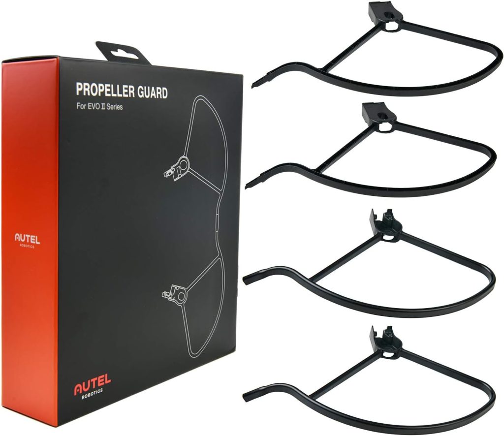
For those who demand ultra-high-resolution imaging alongside versatile deployment options, the Autel Robotics EVO II Pro is hard to overlook. Its stunning 6K video resolution and adjustable aperture allow it to excel in various lighting conditions, making it a solid contender for professional mapping.
Pros
- 6K video capture for supreme image quality
- Adjustable aperture for enhanced photographic control
- 40-minute flight time extends operational capabilities
- Rugged design suitable for diverse environments
- Compact and foldable for easy transportation
- Autonomous flight features simplify complicated tasks
Cons
- Requires significant investment
- Somewhat bulky controller
Key Features & Benefits
The standout feature of the Autel EVO II Pro is undeniably its 6K video capability, paired with a high-performance sensor that catches every detail required for professional-grade maps and models. Whether the task at hand involves close inspection of a historical site or the broad survey of a construction area, the quality delivered by this drone is impeccable. Its adjustable aperture further enhances its utility, allowing for optimal performance in varied lighting conditions — a feature that any mapping professional would appreciate.
Additionally, the EVO II Pro boasts a foldable design, which makes it incredibly easy to transport to different sites. Despite its professional-grade capabilities, it offers an ease of use that many drones struggle to match. With extended battery life and robust build, it proves to be a worthwhile partner for diverse and demanding mapping tasks.
How to Choose the Right Top Picks for Best Professional Drones for Mapping: Enhance Your Aerial Survey Capabilities
When choosing a professional drone for mapping, several factors should guide your decision, ensuring you select a model that meets your specific needs in terms of accuracy, durability, and functionality. Consider the following:
- Camera Quality and Options: High-resolution images are critical for detailed maps. Check the sensor size and resolution capabilities. Options for interchangeable lenses or cameras can also be vital for versatility.
- Flight Time and Reliability: Longer flight times mean more data can be collected in a single outing. Also, consider the drone’s reliability under various environmental conditions.
- Portability and Ease of Use: For field-heavy jobs, a drone that is easy to transport and set up makes a significant difference.
- Software Compatibility: Ensure that the drone you choose is compatible with the mapping and GIS software you are currently using or plan to use.
- Budget: Professional drones can be a significant investment. Weigh their capabilities against their cost to ensure a worthwhile purchase.
Frequently Asked Questions
- Can these drones handle wet weather?
While some models feature more robust constructions suited for various weather conditions, it’s generally advisable to avoid flying most drones in heavy rain or other adverse weather conditions to protect sensitive electronics. - How important is GPS accuracy for a mapping drone?
Extremely important. Higher GPS accuracy enables precise geotagging of imagery, which is critical for creating accurate maps and models. - Are there legal considerations with using drones for mapping?
Yes, depending on your jurisdiction, there may be specific regulations governing the use of drones for commercial purposes, including airspace restrictions, licensing, and privacy concerns. - Can I upgrade the camera on my drone later?
This depends on the drone model. Some drones offer interchangeable cameras, allowing upgrades and modifications tailored to specific survey needs. - What is the best drone for a beginner in professional mapping?
Drones like the DJI Phantom 4 RTK are user-friendly and designed with features that help ease new operators into professional-level usage. - Is extended warranty worth considering for a professional mapping drone?
For professional use, considering an extended warranty or support plan can be beneficial to ensure the drone’s longevity and to cover any potential issues or repairs that might arise during rigorous use.
Conclusion
The evolution of drones has revolutionized the field of professional mapping, making aerial surveys faster, easier, and more accurate than ever before. As we’ve explored various models, each with its unique features and capabilities, it’s clear that the right drone can substantially enhance your survey capabilities, whether you’re monitoring environmental changes, planning urban spaces, or conducting archaeological surveys.
Choosing the right tool for your needs is crucial: consider not just the drone’s hardware but also its software capabilities, ease of use, and after-sales support. The drones we’ve discussed today offer a range of options for professionals looking to invest in quality aerial mapping equipment. Remember, the key is in the details—ensure the drone you choose aligns perfectly with your professional requirements to take full advantage of this transformative technology.