


Exploring the Best Professional Drones for Surveying: Features
Imagine you’re standing on vast, rugged terrain, tasked with the monumental job of mapping and surveying a large expanse of land. Traditional methods might take days or weeks, but with a professional drone at your side, hours could suffice. As surveying continues to evolve, drones are playing an increasingly pivotal role, offering efficiency, accuracy, and unparalleled convenience. In this article, we delve into the top professional drones designed specifically for surveying, detailing their features to help you make an informed purchasing decision.
Leading manufacturers like DJI, Parrot, and Autel have revolutionized the capabilities of drones in professional settings. As technology advances, these drones have become more than just flying cameras; they are now vital tools capable of handling sophisticated mapping and survey tasks with precision. From thermal imaging to high-resolution photogrammetry, the array of features available makes each model a critical asset in various surveying scenarios.
DJI Matrice 300 RTK
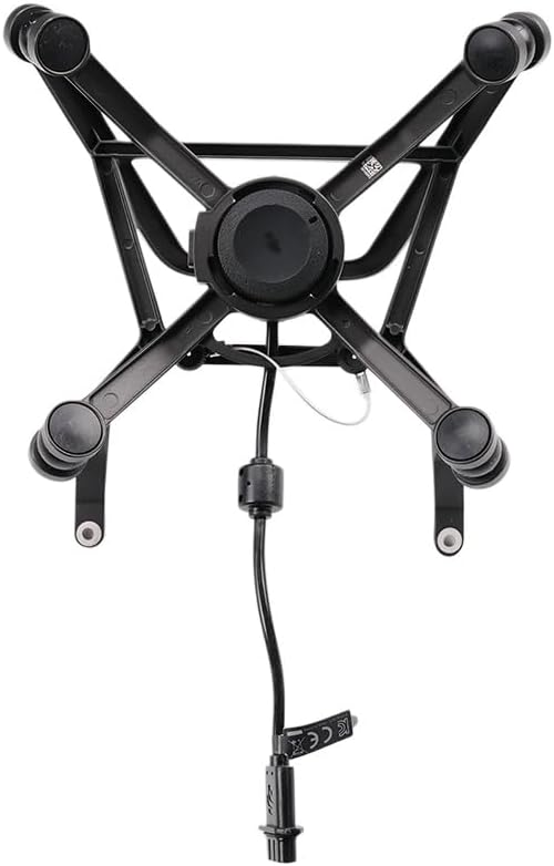
The DJI Matrice 300 RTK stands out in the world of surveying drones, offering a robust design combined with advanced technology tailored for precision and resilience.
Pros
- Exceptional flight time of up to 55 minutes
- Advanced RTK module for centimeter-level accuracy
- Six directional sensing & positioning
- Supports up to three payloads simultaneously
- IP45 rating making it resistant to adverse weather conditions
- Integrated Health Management System
Cons
- High investment cost
- Complex operation that might require training
- Relatively heavy at 9.6 pounds excluding payloads
Key Features & Benefits
The Matrice 300 RTK is a powerhouse tailored for professionals that require reliability and precision. The drone’s real-time kinematic (RTK) module enhances surveying accuracy, ensuring that you capture detailed, actionable data. With the ability to carry multiple payloads, you can equip the drone with various sensors and cameras to suit different surveying needs, from thermal imaging for environmental studies to LiDAR for topographical surveys. The extended flight time allows for prolonged missions over large areas, ensuring comprehensive coverage without the need for frequent recharges.
Furthermore, the six directional sensing and positioning system grants the drone the ability to operate safely in complex environments, automatically avoiding obstacles, even in tight spaces or challenging terrains. This feature is invaluable for surveyors who require consistent operation without interruptions. The integrated health management system further eases the operational strain by keeping track of the drone’s vital functions, forecasting maintenance, and ensuring reliability throughout its service life.
Autel Robotics EVO II Pro
Designed for versatility and precision, the Autel Robotics EVO II Pro is a top contender in drone surveying technology with comprehensive applications.
Pros
- Adjustable aperture from f/2.8 to f/11
- 40 minutes of flight time
- 6K video resolution ensures detailed captures
- Compact and portable with foldable arms
- Rugged build suitable for harsh environments
Cons
- Battery life can be limiting for extended surveying tasks
- Requires additional purchases for multiple payloads
Key Features & Benefits
The EVO II Pro’s 6K video resolution sets a new standard for drone surveying capabilities, ensuring ultra-high definition visuals that are crucial for fine-detail mapping and inspection tasks. The adjustable aperture is a standout feature, providing surveyors with control over light exposure and depth of field, which is critical for achieving the optimal image quality in varying lighting conditions.
This drone’s portability is a significant boon. With foldable arms, it is easy to transport and deploy, making it ideal for surveyors who need to operate in remote or inaccessible regions quickly. Despite its portability, the EVO II Pro does not sacrifice durability, designed to withstand the demands of challenging external conditions.
How to Choose the Right Exploring the Best Professional Drones for Surveying: Features
Selecting the right drone for surveying tasks involves several crucial considerations. First, assess the performance capabilities like flight time and maximum payload capacity. These factors directly affect how much data you can gather in a single flight. Next, consider the quality of cameras and sensors. High-resolution cameras and adaptable sensors are vital for capturing detailed data. Ease of use is another critical factor, especially for operations in challenging environments. Drones that feature automated flight modes and obstacle avoidance provide a smoother user experience. Lastly, consider the drone’s robustness and portability — it should withstand varying climatic conditions and be easy to transport to different sites.
FAQ
What makes a drone suitable for professional surveying?
A suitable surveying drone must have precision navigation capabilities, robust build quality, high-resolution imaging systems, and extended battery life for prolonged missions.
Can these drones operate in all weather conditions?
While many professional drones are designed to withstand adverse weather, it’s essential to check the specific IP rating for details on weather resistance levels.
Are professional surveying drones hard to operate?
There can be a learning curve, especially for drones equipped with advanced features. However, many models now come with user-friendly interfaces and automated systems that ease the operation.